
http://trail.motionbased.com/trail/episode/view.mb?episodePk.pkValue=1318394

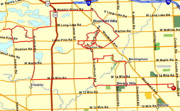

Ride through Bloomfield with Kevin Skipworth. The high altitude mark was the top of Wabeek Lake Road.
Full MotionBased data is available at http://trail.motionbased.com/trail/episode/view.mb?episodePk.pkValue=548117

 Below is the Google Earth view: